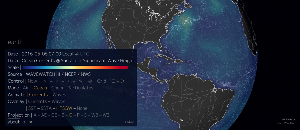
EarthWindMap is a very cool website that gives you a visualization of global weather conditions forecast by supercomputers updated every three hours; ocean surface current estimates updated every five days; ocean surface temperatures and anomaly from daily average (1981-2011) updated daily; and ocean waves updated every three hours.
You can select what data you want to see, what to overlay, the type of map/globe projection, and zoom in/out with you mouse.
The EarthWindMap site uses data from Natural Earth, a public domain map dataset available at 1:10m, 1:50m, and 1:110 million scales.


Leave a Comment